Using GIS
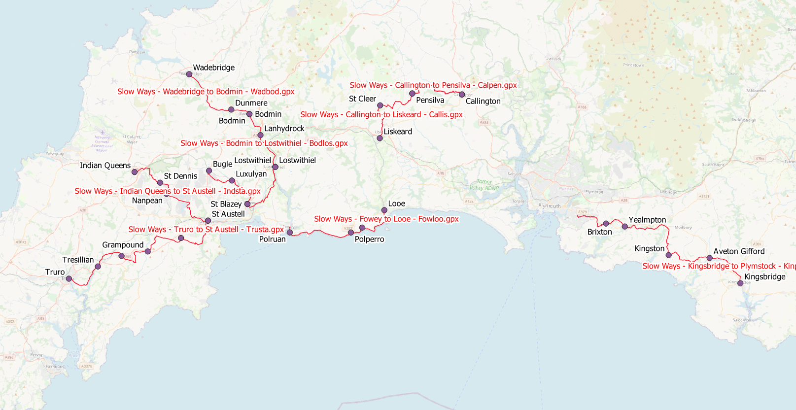
Hi, thought I would start a topic/chat about ideas for using GIS to analyse the routes we are creating in a way that might inform current and future work for the project
My idea is for people to post ideas they have for route/area analysis, and then see if we can make it work using the power of GIS.
I'm a GIS professional, and I've spotted a couple more in the Introduce Yourself chat - so it looks like we have some expertise and knowledge we can make good use of.
For example a couple of things I have pondered whilst creating routes as follows:
- Create an 'index of directness' for each route by dividing the length of the straight line route by the length of the mapped gpx route
- Categorise stretches of routes which are on roads (and of different categories - A-road/B-road/minor etc), by intersecting routes with the existing free OS vectormap local dataset using GIS - perhaps a small buffer (say 10m) of each road would suffice to catch inaccuracies in the route digitising.
The outputs of both of these could potentially highlight routes which need revisiting for either or both of these reasons, and/or potentially highlight areas/regions where a lack of rights of way make navigating between settlements difficult.
-
Good idea. I use GIS too (Esri / QGIS) and would be keen to contribute to ideas on this thread. Some of your suggestions are great. One thing I've been struggling with a bit is to categorise all existing submissions into regional sub-folders (region isn't a field and isn't strictly accurate anyway).
GIS seems the obvious tool to find a solution but QGIS wasn't having my batch upload of files (approx 1,000 GPX files). Ideas welcome.
Jason
0 -
Hi Jason, think you're onto this, but you are going to struggle with management of the routes in gpx format, if we can get them into gis format there's a whole load more things you can do, I'll have a look later at the import function in qgis...
0 -
Just had a go at importing the routes I've created via QGIS - seemed to work OK, but I've only got 15 gpx files to import! I used a plug-in called 'batch gps importer', I've tried importing as lines, where you get all the vertices with the name of the route as one linear feature, and also as points, which comes out as the named waypoints as you save them during creation in OS maps, but also still contains the name of the route which is handy.
0 -
 0
0 -
Looks great! Good progress too. Yes I've got the same plugin. I suspect either (a) there's an issue with my GPX files or (b) I'm trying to load too many in one go. I was hoping to convert the file format in QGIS but obviously I have to get them in there first! If you know of any file conversion software I could try, let me know otherwise I may just test the limits of the plugin. Thanks for your help.
0 -
Another possible use of GIS would be to analyse "overlap" to see how many routes use the same sections or bits. There might be some benefit to that potentially?
0 -
I'll have a think about other methods - I wonder whether it may be that when you import gpx files using the batch importer plugin, it saves the results as a scratch (i.e. temporary) layer - it may be that qgis can only hold a certain volume of this data before it runs out of memory? Have you tried importing only a handful?.
0 -
The overlapping routes analysis could be useful - linked to this, we may want to snap the routes to existing OS data so everything is in the right place. Although this is likely to increase the complexity (and storage requirements) of the routes. One of the routes I created in Exmoor did this automatically, and was much easier to create, but resulted in a much larger file size due to the large increase in vertices along the route...
0 -
Hi Chris Chapman!
I figured out the GPX to region problem!
Got the files into QGIS in one go eventually using the batch GPS plugin (thanks for the heads up) but I had to select "route only" before it worked for some reason, which was fine for my purposes.
Then had to sort out projection via Properties > Metadata > extent, then reverse the direction of geometry via plugin #2 (I mean really?!) then set layer CRS to WGS 84, then finally join by location!
Why make things easy when you can take the scenic route? :)
0 -
I am not a GIS person but I had also been thinking about categorising routes. Families with children might particularly want to avoid routes with main roads (even if there is a pavement) and routes along canals/rivers.
0 -
That's a great idea and perfectly possible using GIS tools
J
0 -
Linking to this post https://slowways.zendesk.com/hc/en-gb/community/posts/360010953477-Tools-for-spotting-gaps in search for good collaborative tools for refining the network.
0
Please sign in to leave a comment.

Comments
12 comments